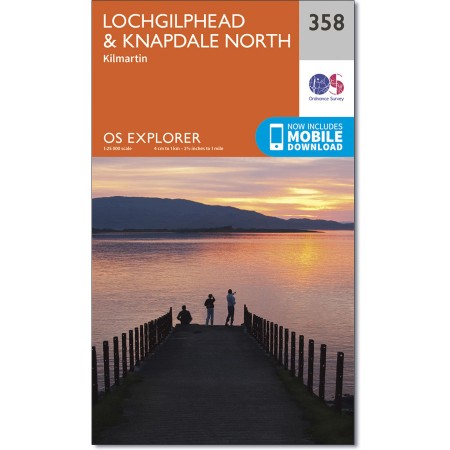
OS Explorer 358, Map of Lochgilphead, Kilmartin, Knapdale
Ordnance Survey â Explorer 358 Scale 1:25 000, Map of Lochgilphead, Kilmartin, Loch Fyne West and Knapdale North
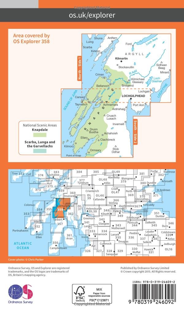
OS Explorer map 358 covers northern Knapdale, including most of the Knapdale National Scenic Area, as well as Lochgilphead and the western shores of Loch Fyne.
With this map you will receive a code for use on your iOS or Android smartphone or tablet.
Each paper map has a unique code that will give you access to the same mapping using the new OS Maps app.
Just scratch off the silver panel on the inside cover, enter the code and then download your map inside the app.
Publication Date: 16/09/2015


