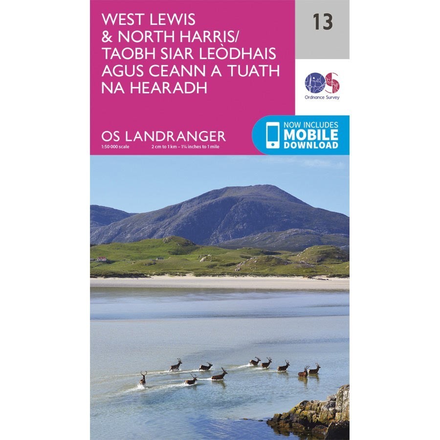
OS Landranger 13 West Lewis and North Harris
OS Landranger 13 West Lewis and North Harris
Ordnance Survey Landranger 13 Scale 1:50 000
Map of West Lewis & North Harris
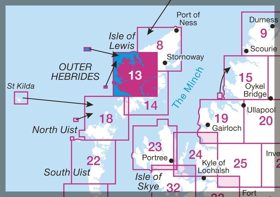
The Landranger map is an all purpose map packed full of information to help you really get to know an area. Each map covers an area of 40 km by 40 km (25 miles by 25 miles).
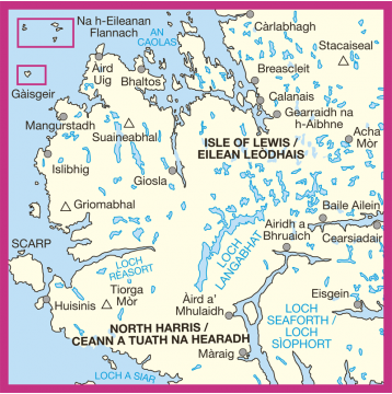
This map of West Lewis & North Harris also includes Stacaiseal, Tiorga Mor, Griomabhal, Suaianeabhal, Loch Reasort and Loch Langabhat.

