Sorry, this product cannot be purchased.
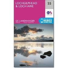
OS Landranger 55 Loch Awe, Seil and Scarba
Landranger 55 Scale 1:50 000
Map featuring islands south of Oban: Seil, Easdale, Scarba and more, Lochgilphead & Loch Awe
Map sheet number 55 is an all purpose map packed full of information to help you really get to know the Lochgilphead & Loch Awe area.
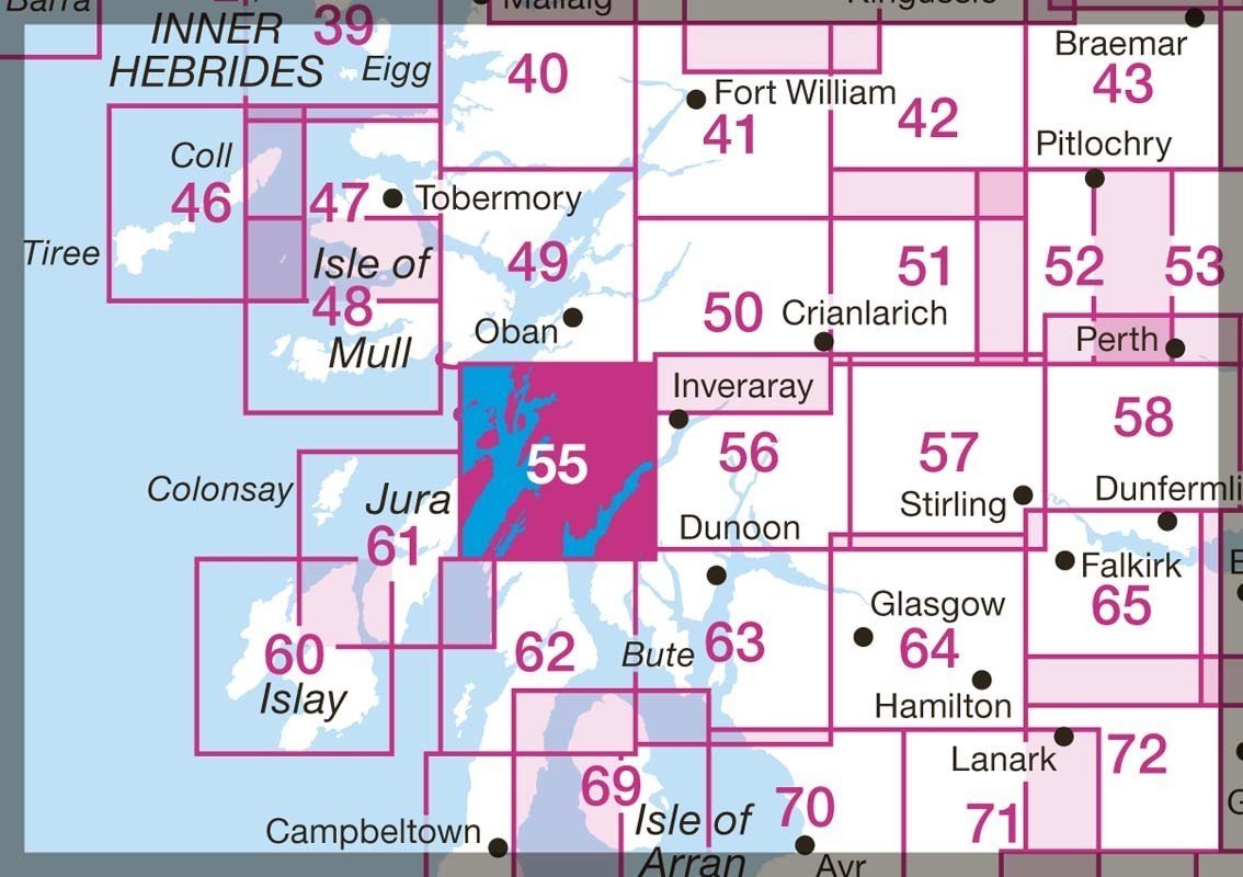
Each map covers an area of 40 km by 40 km (25 miles by 25 miles) and like other Ordnance Survey maps, National Grid squares are provided so that any feature can be given a unique reference number.
This map of Lochgilphead & Loch Awe also includes Loch Fyne, Kilmartin, Minard, Ardfern, Dalavich, Scarba, and part of Jura.
Works well with the Sea Kayaking Map to the West Coast of Scotland to plan your sea kayak trip and sort out logistics (from the airport to Oban, car rental & public transport options, sea kayak rental, ferries and lots of sea kayaking routes)
Includes mobile download. With this map you will receive a code for use on your iOS or android smartphone or tablet. Just scratch off the silver panel on the inside cover, enter the code and then download the map in the app.


